
VTOL (vertical take-off and landing)
WingtraOne can take off and land everywhere—even in confined spaces or on rough terrain. This enables you to collect data where other drones cannot.
Plus, vertical landings mean no debris scratching your camera lens and thus a longer equipment lifetime.
VTOL technology explained
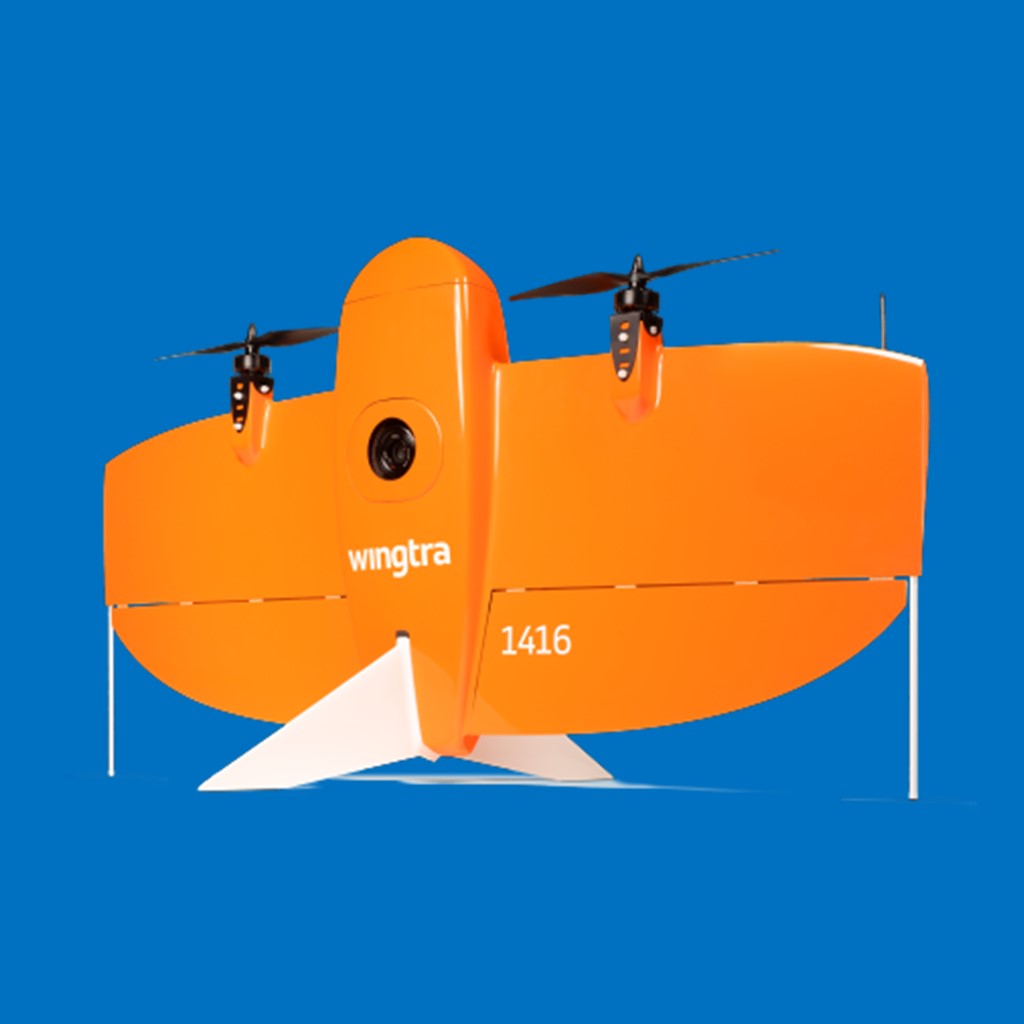
The WingtraOne VTOL drone is a hybrid UAV made of only four moving parts: two rotors for propulsion, and two flaps for steering. This simple and sleek design is the result of more than seven years of research and development aimed at creating a more efficient and convenient way for fixed-wing drones to take off and land while carrying heavier cameras.
Map faster
WingtraOne’s unique set of features empowers you to minimize your time flying and get more work done, be it another project in the field or analyzing your data at the office.


There are no reviews yet.